
Issue No. 21 May 2026
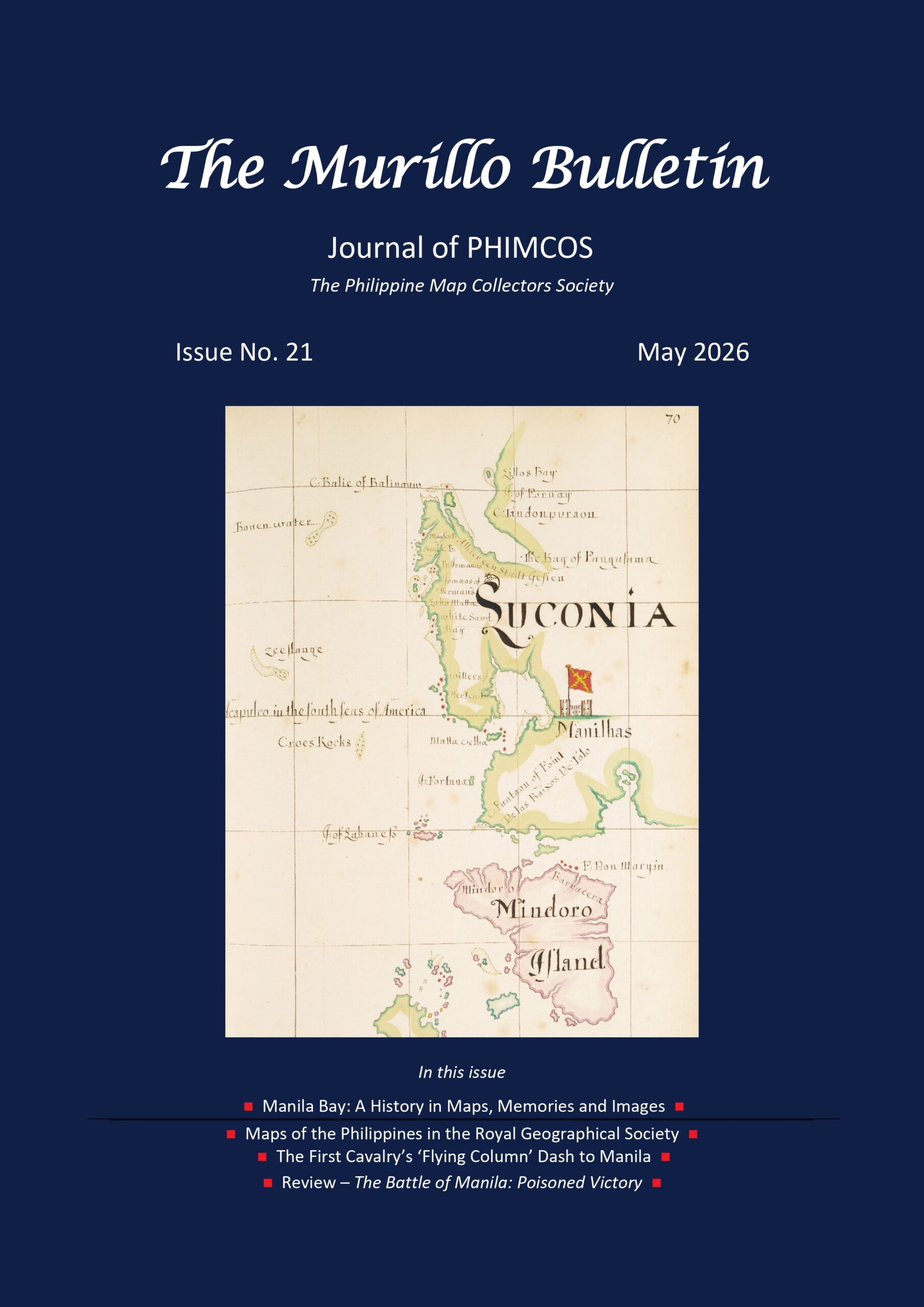
The cover: William Hacke’s Luconia and Mindoro; and articles on Manila Bay: A History, Maps of the Philippines in the Royal Geographic Society, The First Cavalry’s ‘Flying Column’ Dash to Manila, The Battle of Manila: Poisoned Victory, Michael Price (1941-2025)

The National Museum of the Philippines and PHIMCOS present Classics of Philippine Cartography, an exhibition of rare historical maps and sea charts of the Philippine archipelago from the early 16th century to the mid-20th century. Over 85 original maps and reproductions from the collections of PHIMCOS members and institutions in the Philippines, the Netherlands, Spain and the United Kingdom are shown in this exhibition.Classics of Philippine Cartography will run from July 5, 2025 to January 31, 2026 at the National Museum of the Philippines-Cebu.Note: The Exhibition is extended until June 30, 2026 at the National Museum of the Philippines-Cebu