PHIMCOS SPONSORED EXHIBITIONS


This exhibition, in collaboration with the National Museum of the Philippines, presents rare and historical maps and sea charts of the archipelago dating from the early 16th century to the mid-20th century. Over 85 original maps, books and reproductions from PHIMCOS members, friends and local and foreign institutions give a sweeping overview of Philippine cartography through the centuries to a Visayan audience.


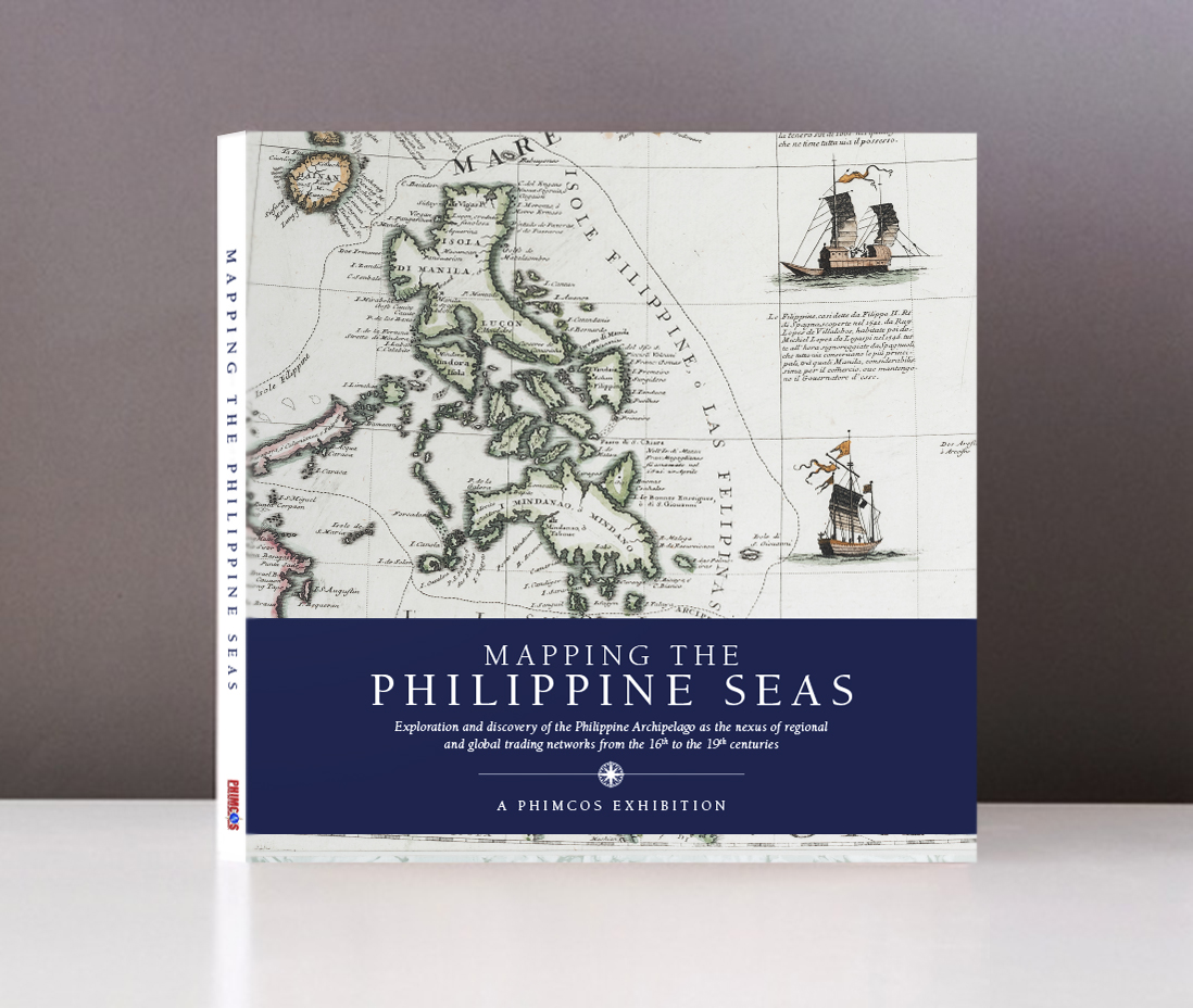
Arranged by the Philippine Map Collectors Society (PHIMCOS) to commemorate the 10th anniversary of its foundation, and hosted by the Metropolitan Museum of Manila, Mapping the Philippine Seas is an exhibition of rare historical maps and charts of the Philippine archipelago and its surrounding seas from the early 16th century to the end of the 19th century. The exhibition showcases 165 original maps and sea charts from the collections of 17 PHIMCOS members, another private collector, the GSIS Museo ng Sining, and a reproduction of the Selden Map courtesy of the Bodleian Library, University of Oxford.

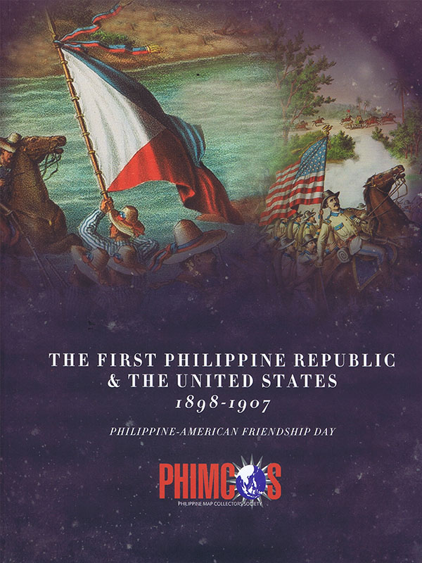
This exhibit covers the period from 1898 when the First Philippine Republic was established to 1907 when the First Philippine National Assembly was convened. The establishment of the First Philippine Republic marked the culmination of the Spanish rule in the country, and although it was short-lived, its establishment and the ensuing events played a pivotal role in the eventual fulfillment of the aspirations of the Filipinos in self determination.

To commemorate the 250th anniversary of the British Occupation of Manila and Cavite (1762 – 1764), the Philippine Map Collector Society and the Embassy of the United Kingdom have collaborated to shed more light on and draw lessons from this little known event in Philippine history.

Our image of our country’s territory, location and boundaries we know because of maps, the most visual representation of our nationhood. Collections of maps tell a tale as rich as any tome on history. Maps are the graphic record of how a nation was forged, the evidence of the fate of both colonized and colonizer.

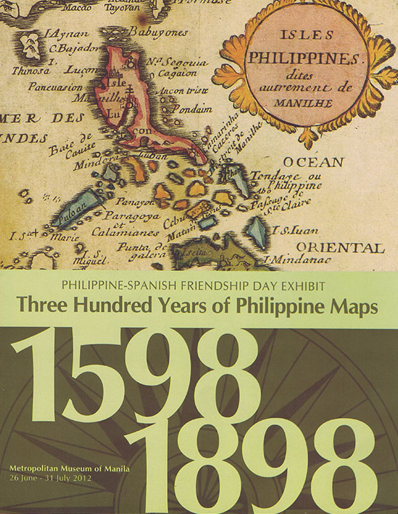
Maps and prints exhibited in cooperation with the Spanish Embassy in Manila.